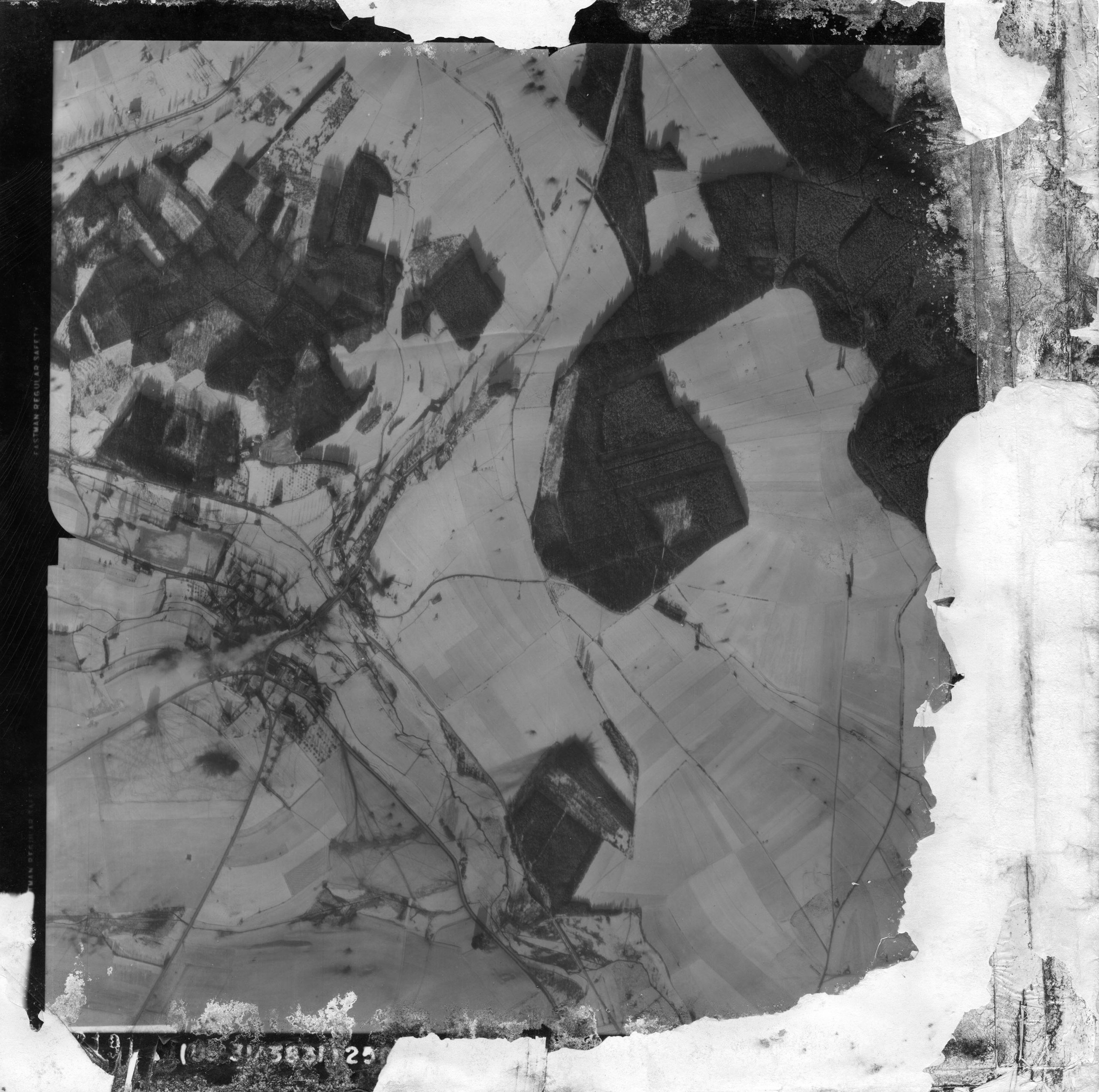
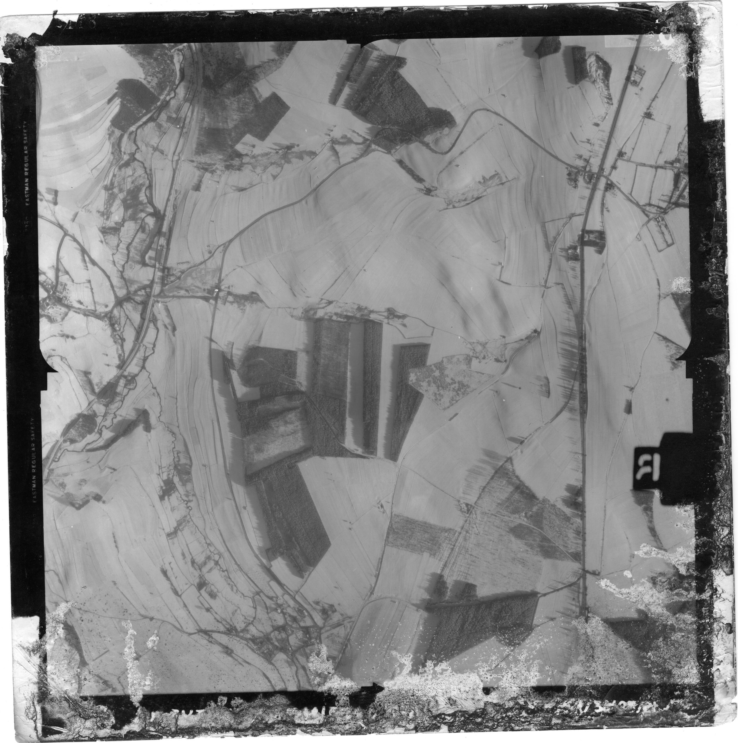
(Source) This is an anonymous upload to the EUCMH webserver. I really want to thank the donator of these wartime maps because I am sure some guys online will find them really useful. So, once again, thank you.

Map #01 – Arloncourt & Obourcy
December 25, 1944

Battle of the Bulge Aerial Map 1944

Map #02 – Assenois – Bastogne – Clohimont
December 25, 1944

Battle of the Bulge Aerial Map 1944

Map #03 – Assenois – Bastogne
December 25, 1944

Battle of the Bulge Aerial Map 1944

Map #04 – Benonchamps – Bras
December 25, 1944

Map #05 – Bertogne
December 25, 1944

Battle of the Bulge Aerial Map 1944

Map #06 – Bizory & Neffe
December 25, 1944

Battle of the Bulge Aerial Map 1944

Map #07 – Champs & Rouette
December 25, 1944

Battle of the Bulge Aerial Map 1944

Map #08 – Champs
December 25, 1944

Battle of the Bulge Aerial Map 1944

Map #09 – Champs – Longchamps – Rolley
December 25, 1944

Battle of the Bulge Aerial Map 1944

Map #10 – Champs
December 27, 1944

Battle of the Bulge Aerial Map 1944

14 / 100 SEO Score
📁 If you have something related to this archive you'd like to share or publish — like photos, documents, or materials — click the “Share Your Files” button below to upload directly to the server. Please include a small .txt file with your name, email address, and a brief explanation of how you came across these materials — especially if copyright is involved. (gif, txt, pdf, jpeg, jpg, doc, png) 💌 You can also email me directly at [Doc Snafu].
Buy Me A Coffee
1
2
3
4
5
Previous articlePOW Report (Sepp Dietrich & Joachim Peiper)
Next articleIPW Report #17 (Einheit Stielau) (Billing – Pernass – Schmidt)