


")

")
")
")

")
Map #11 – Chaumont
December 25, 1944
Map #12 – RR Between Bizory and Michamps
December 25, 1944

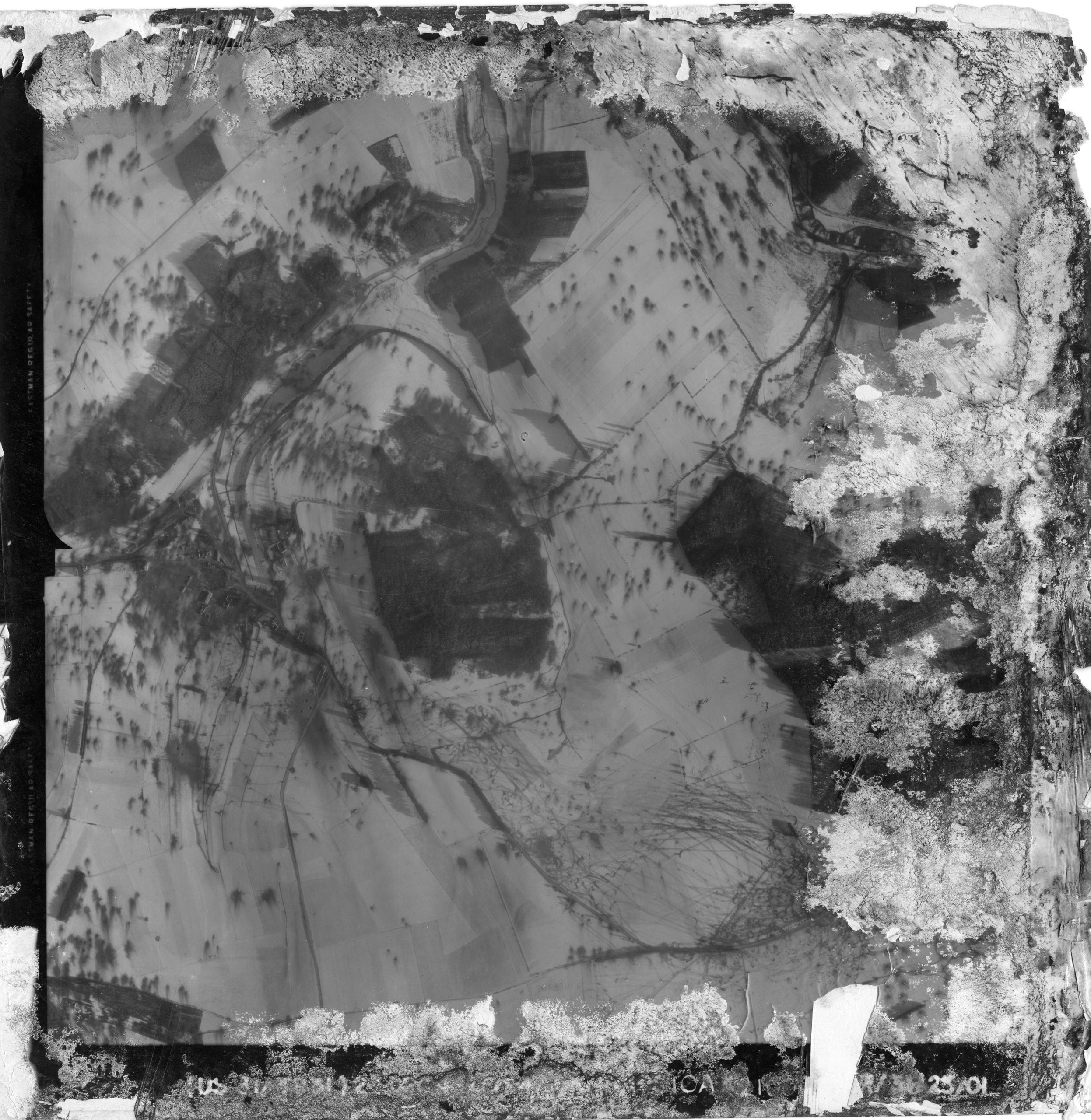
Map #13 – Chenogne
December 25, 1944
Map #14 – Clohimont
December 26, 1944

Map #15 – Between Flamierge – Chenogne – Renuamont
December 26, 1944

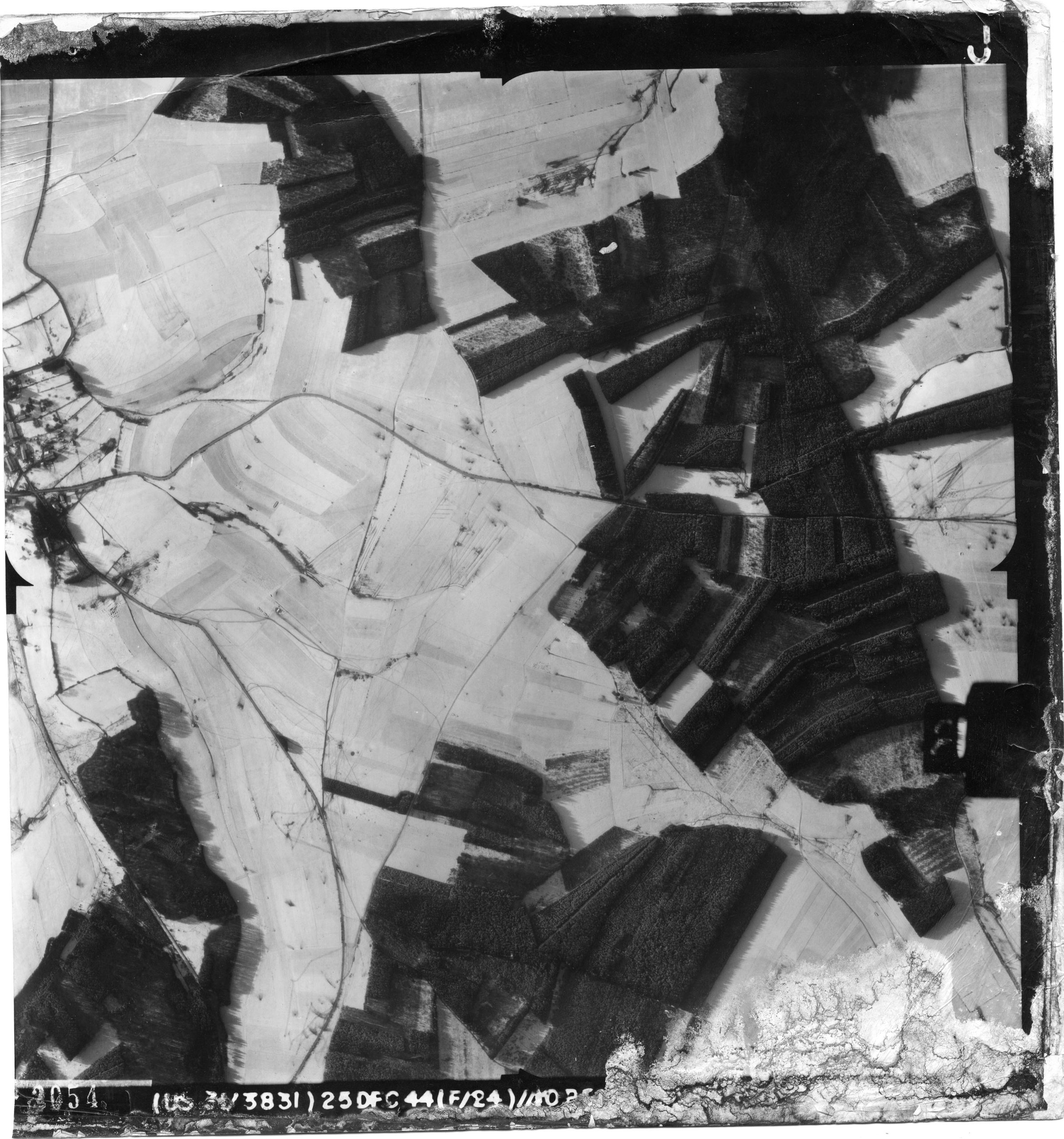
Map #16 – Flamisoulle – Mande Saint Etienne – Fond Laval
December 27, 1944

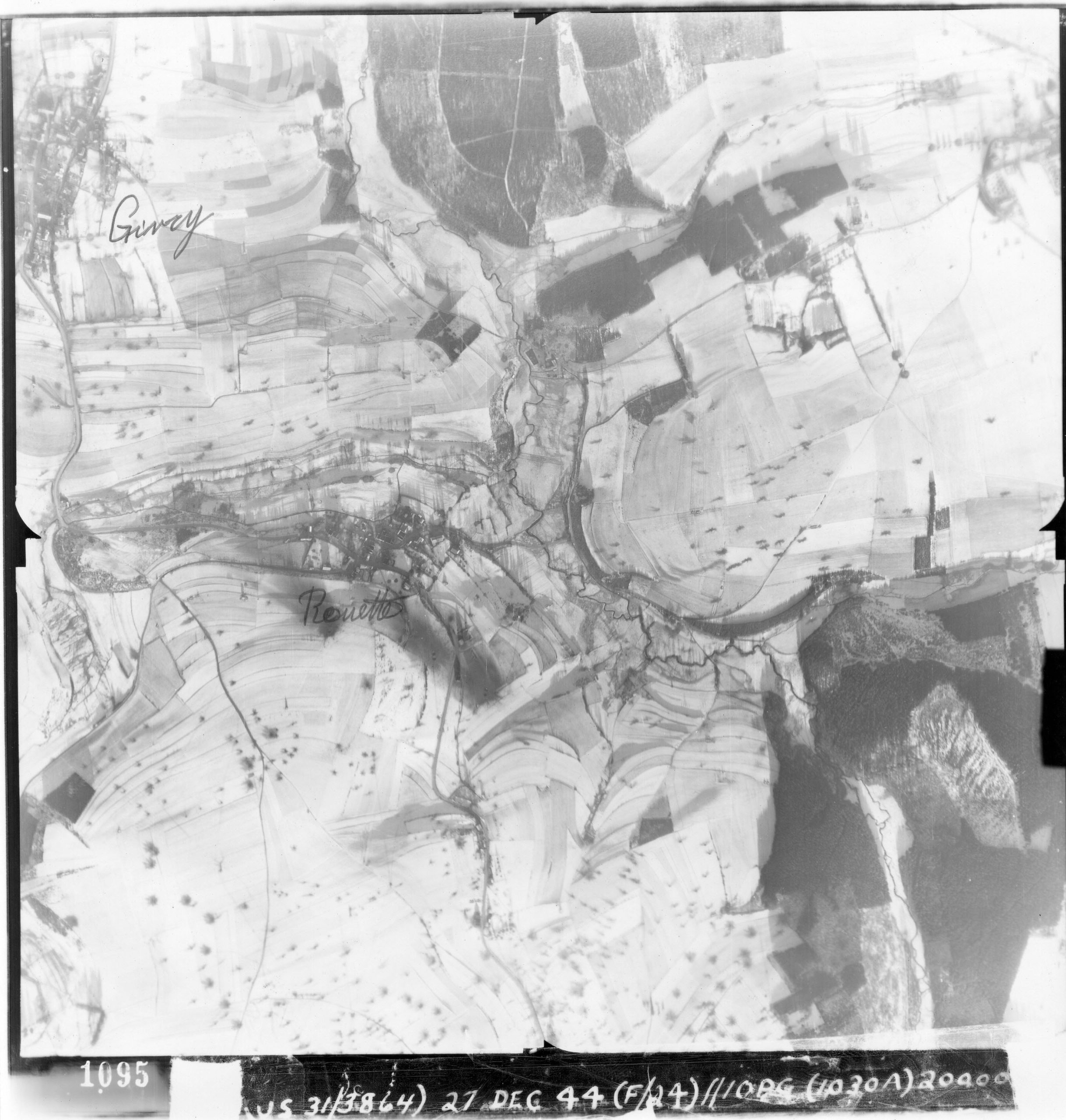
Map #17 – Givry – Rouette
December 27, 1944
Map #18 – Givry
December 27, 1944

Map #19 – Bizory to Bourcy
December 25, 1944

Map #20 – Bizory
December 25, 1944

