

")
")
")
")
 (Part 5)")
 (Part 4)")
 France & Belgium 1918 (AEF)")
")
 (Part 3)")
")
Reviewed by Doc Snafu on May 3, 2026.
Unfortunately, I have no choice but to play with Google Maps (which works quite well but does not allow a 100% result) to reproduce 1944 spots with 2023 spots perfectly to allow you to make a comparison. To say the truth, I am waiting to have enough cash to buy a good Nikon or Canon camera (visitors donations) with the objectives required for this kind of work. I am talking here about a sum of almost 10k-€. So in the meantime here is what I propose as images in the Tend and Now category. I am adding a Google Map Link to allow overseas readers to visit virtually the area. Remember that EUCMH is a nonprofit endeavor. (Thanks to Ludovic Delcourt for the help in finding some places unknown to me)
![]()
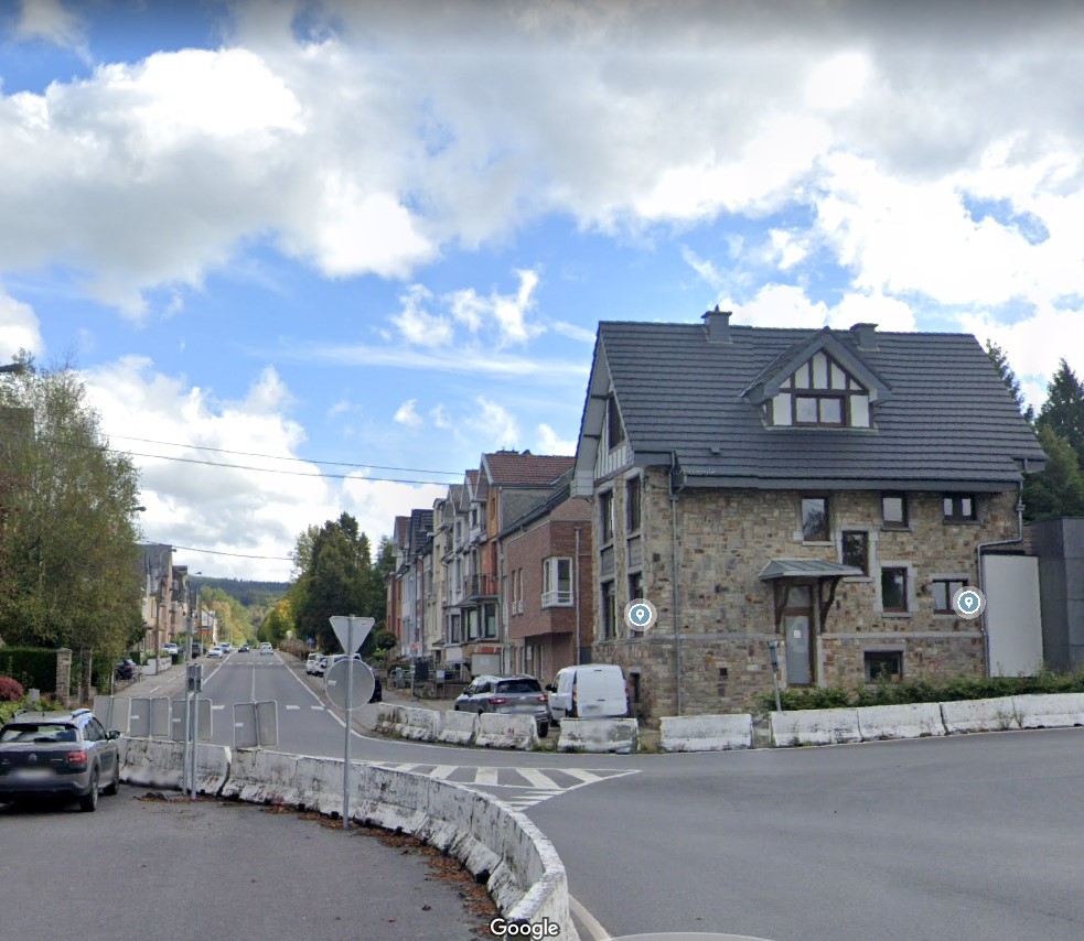
Image #001 – (Malmedy)
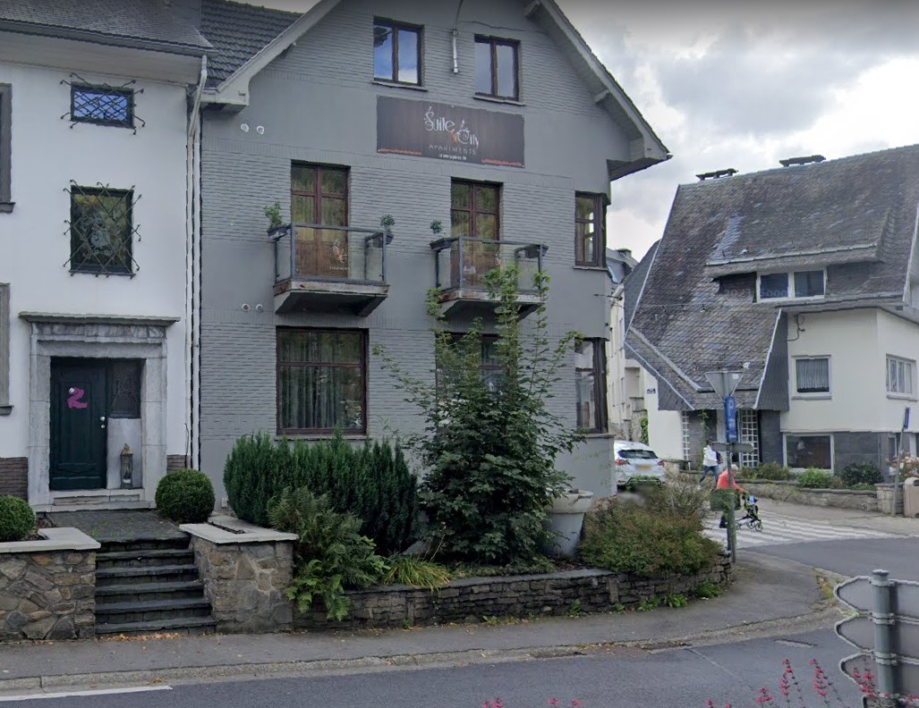
Malmedy today (2023) and Malmedy in December 1944.
Link to Google Map follows Malmedy 2023

![]()
Image #002 – (Francorchamps)
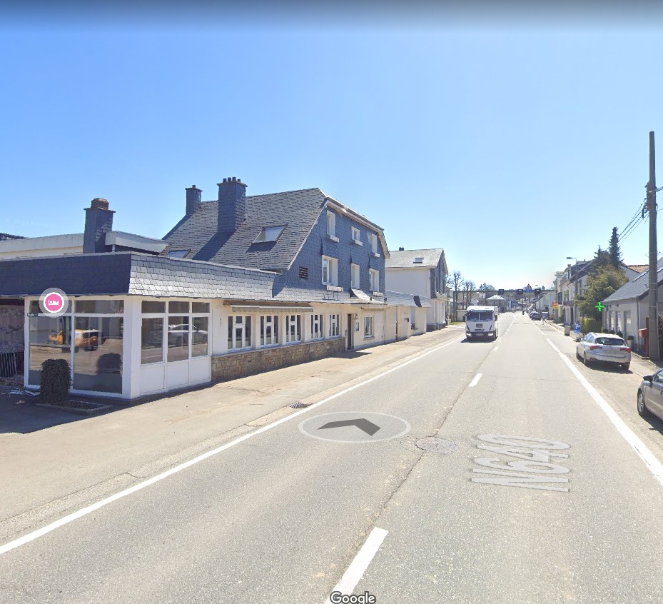
Francorchamps today (2023) and then the same place in 1944
Link to Google Map follows Francorchamps 2023
![]()
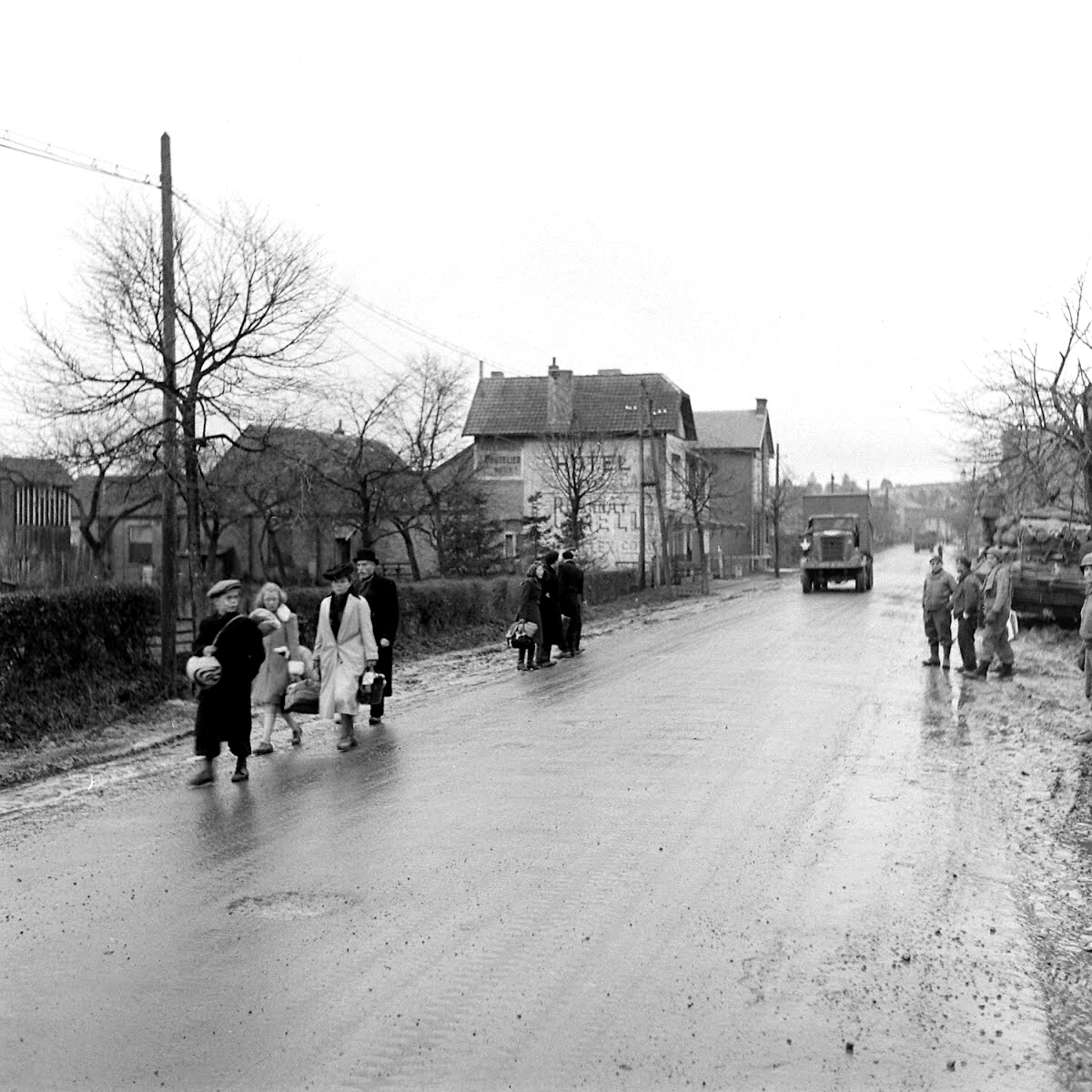
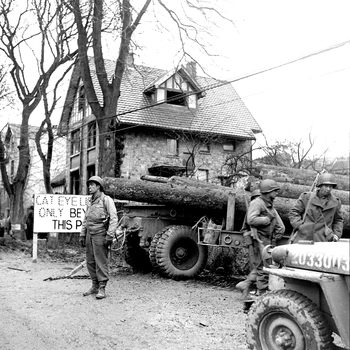
Image #003 – (Malmedy)

Malmedy 1944 and the same place in 1944 (Troops are from the 526th Armored Infantry Battalion (S)
Link to Google Map follows Malmedy 2023

![]()
Image #004 – (Malmedy)
Malmedy 1944 and the same place in 1944
Link to Google Map follows Malmedy 2023
![]()
Image #5
Malmedy 1944 and the same place in 1944
Link to Google Map follows Malmedy 2023
![]()
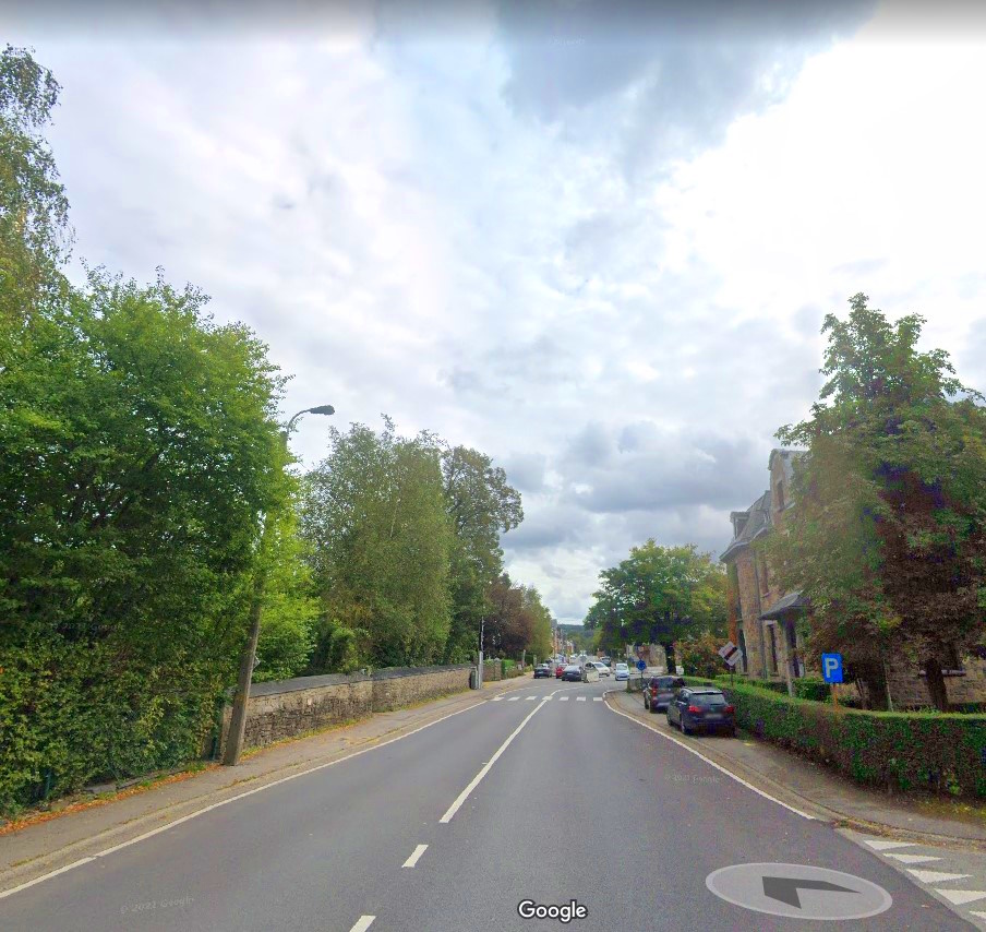
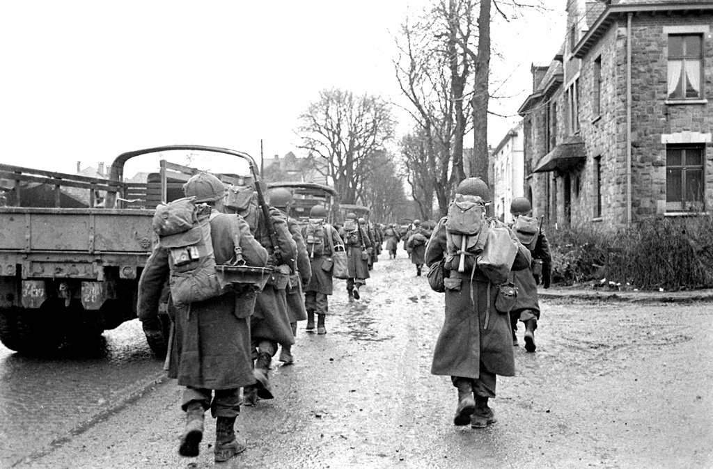
Image #6

Malmedy 2023 and the same place in 1944 (December 18, 1944. Troops of the 30-ID)
Link to Google Map follows Malmedy 2023

![]()
Image #7

Malmedy 2023 and the same place in 1944
Link to Google Map follows Malmedy 2023

![]()